
Keyword
Geoscientific information
16 record(s)
Type of resources
Topics
INSPIRE themes
Keywords
Contact for the resource
Provided by
Representation types
Update frequencies
Scale
-
The Portuguese Mineral Occurrences and Resources Information System (SIORMINP) provides access to geoscientific, technical and economic information on occurrences, reserves and resources, associated commodities, geology, mines, mining activities, mining wastes and areas with mining potential known in mainland Portugal.
-
Geology and Geomorphology of the portuguese offshore of the Pre-Quaternary, using as reference the Geological Chart of the Immersed Area, Scale 1: 2 000 000, of the Geological Chart of Portugal, Scale 1: 1 000 000. National Laboratory of Energy and Geology (LNEG) 2010 .
-

Geology and Geomorphology of offshore Portugal in the Quaternary period, using as reference the Geological Chart of the Immersed Area, Scale 1: 2 000 000, of the Geological Chart of Portugal, Scale 1: 1 000 000. National Laboratory of Energy and Geology (LNEG) 2010 .
-
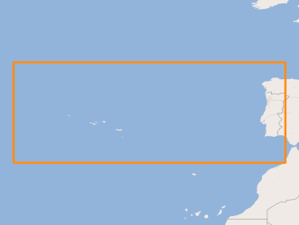
Volcanic centres in the Portuguese offshore, located between the Mid-Atlantic Rift zone (Azores archipelago) and the continental margin.
-
Sedimentological characterization of part of the continental shelf. Folk classification (7 classes).
-
Areas that evidence the occurrence of submarine landslides, located between the Middle Atlantic Rift zone (Azores archipelago) and the Continental margin.
-
Location of structures resulting from the submarine fluids emissions, such as: mud volcanoes (methane hydrates); Pockmaks (methane) and hydrothermal vents (fluids enriched in salts and metallic elements), located between the Mid-Atlantic Rift zone (Azores archipelago) and the continental margin.
-

The TOPOMED-FREEZE campaign was organized as a joint campaign of the TOPOMED and FREEZE projects sponsored by the Fundação para a Ciência e a Tecnologia (FCT) (Plate reorganization in the western Mediterranean: lithospheric causes and topographic consequences, TOPOEUROPE/0001/2007; Submarine FREshwater dischargEs: characteriZation and Evaluation study on their impact on the Algarve coastal ecosystems, PTDC/MAR/102030/2008). These two projects share complementary study areas and objectives. The first concentrates on the effects of neotectonics on the evolution of landscape and environments and the second on the investigation of Submarine Fresh-Water Discharges.
-
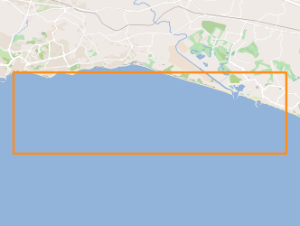
The FREEZE 2010 geophysical cruise was planned to acquire a detailed bathymetry just off Olhos d'Agua, high resolution seismic and Side Scan Sonar data in order to investigate and define the geological and the tectonic settings off Olhos d'Agua (Algarve coast, South Portugal) and to find any possible evidence of supposed existing submarine groundwater discharges (SGDs) in this area.
-
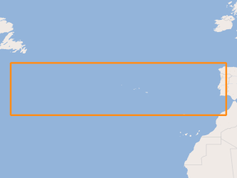
Earthquakes (epicenters) and areas that mark large submarine landslides of sedimentary material, which caused tsunamis whose impact was recorded on the Portuguese coast.